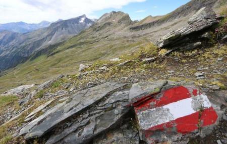
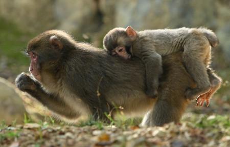
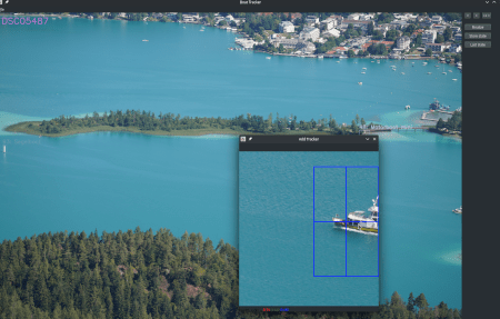
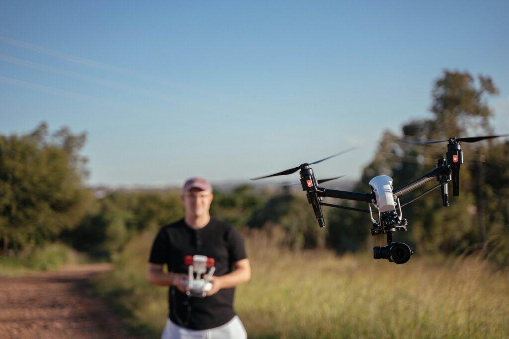
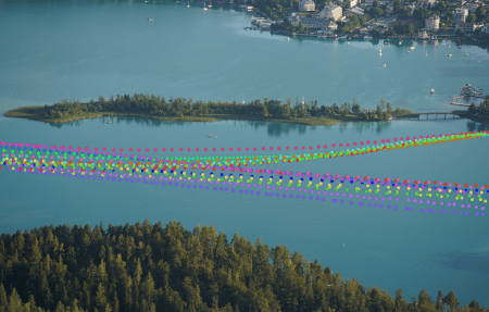
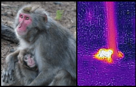
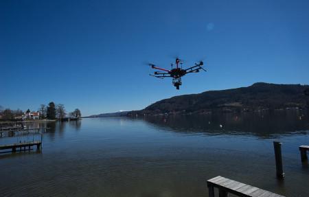
Laufende Projekte AIRlabs BioMonitor4CAP BioDivTech Lab Drone4all HUMANITA INDIALPS Smart Monkey Lab START Living Lab WAMOS Bevorstehende Projekte ALPS-RADAR DRONE EXPERT Abgeschlossene Projekte AfterFlood BioMONITec Digitalisieren von Gebäude-Footprints Drohnenbasiertes Monitoring „Bleistätter Moor“ Drone Risk Austria Drone Zone Austria DronePilot DroneRadar DroneSORA Fishstream floorOPT For FOREST Gemeinschaftsdrohne RPAmSS SEUSA SnowDrone SORA4UAM Wall-ie Wave WhereAreMonkeys Wörthersee in 3D