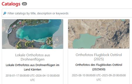
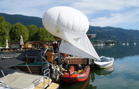
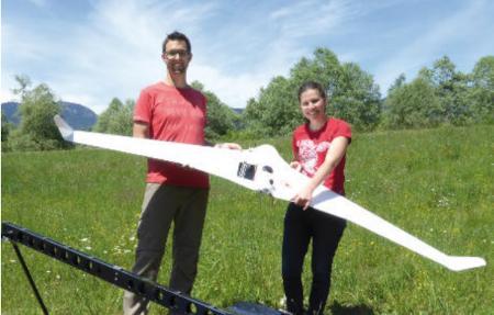
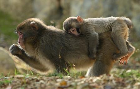
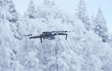
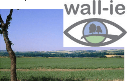
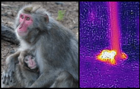
Current projects

Here are the projects we are currently working on.

BioMONITec

DronePilot

Gemeinschaftsdrohne

AIRlabs

Foto von Nagara Oyodo auf Unsplash

Smart Monkey Lab

HUMANITA

BioMonitor4CAP

DroneSORA

DroneRadar

Biodiversity monitoring technologies - translating disruptive engineering technologies into conservation practice.

BioMONITec is a COIN project focused on discovering and structuring the latest and traditional technologies and tools for biodiversity monitoring. The available tools will be organized into thematic e-toolkits and made discoverable in the form of an online catalog to support, in the first line, protected area managers. In addition, the project is developing a global guide (MoniGloG) that will help monitor biodiversity in protected areas. Also, an online configurator called MoniConfig will provide a checklist to help conservation practitioners implement the best monitoring systems available.

Project lead:

Research group MCA

Project partners: 

no

Timeline:

01.02.2021 – 31.12.2024

Financing:

FFG

Building the next generation workforce for the UAS industry in Austria and beyond

DronePilot has the ambitious goal of building the next generation workforce for the UAS industry in Austria and beyond and focuses on the following key innovation goals:
(1) Developing a new holistic training framework for current and future UAS pilots;
(2) Integrate UAS pilot training into the European Qualifications Framework (EQF) by applying innovative and new learner-centered approaches to upskilling and retraining, such as “micro-credentials”;
(3) Develop a vision for an internationally recognized and fully certified European Drone and Data Academy (EDDA) that positions Austria as a major center for UAS education.

Project lead:

SIENA

Project partners: 

AIRlabs Austria GmbH

FH JOANNEUM Gesellschaft mbH

Timeline:

01.11.2022 – 31.10.2023

Financing:

FFG

Automated scheduling of collaborative drone operations

The community drone develops and evaluates concepts and methods for a coordinated and collaborative use of drones by several interested parties and determines the associated potentials of efficiency increase and cost reductions. The central component is the functional proof of a multi-user/multi-mission planning system for automated and optimized mission planning for jointly used drones. The solution concept will also be evaluated with regard to economic efficiency, feasibility, and regulatory framework conditions.

Project lead:

AIT

Project partners: 

SIENA

Immotech OP GmbH

MOOSMOAR Energies OG

UBIMET GmbH

Timeline:

1.09.2022 – 30.09.2024

Financing:

FFG

Approved projects

The projects listed here have been approved and granted funding, but have not been started yet

WAMOS

Completed projects

Drone Risk Austria

For FOREST

Fishstream

WhereAreMonkeys

Drone Zone Austria

Wave

AfterFlood

floorOPT

Wörthersee in 3D

Foto von Max Böttinger auf Unsplash

Digitalising Building Footprints

Image by Xavier Turpain from Pixabay

SnowDrone

Drone-based Monitoring “Bleistätter Moor”

RPAmSS

Erlacher, C.; Anders, K.-H.;
Jankowski, P.; Paulus, G.; Blaschke, T.
A Framework for Cloud-Based
Spatially-Explicit Uncertainty and
Sensitivity Analysis in Spatial
Multi-Criteria Models. ISPRS Int. J.
Geo-Inf. 2021, 10, 244. https://doi.org/
10.3390/ijgi10040244

SEUSA

wall-ie