Vision
The vision of SIENA is the establishment of a new competence center at the CUAS for the space-time analysis of high-resolution multidimensional environmental data for fast and better decision support. The main pillars of SIENA are the use of unmanned systems (“Unmanned Systems“) for high-resolution environmental data acquisition in combination with intelligent algorithms that generate information (“Smart Data“) from this data.
Goals
- the strategic development and expansion of the comprehensive interdisciplinary know-how, which is being developed within the framework of the research focus ” Environmental Monitoring” in the courses “Geoinformation and Environment” and “Spatial Information Management“;
- maintenance and development of the existing multidisciplinary national and international partner network.
Ongoing projects

ALPS-RADAR
BioMonitor4CAP

BioDivTech Lab
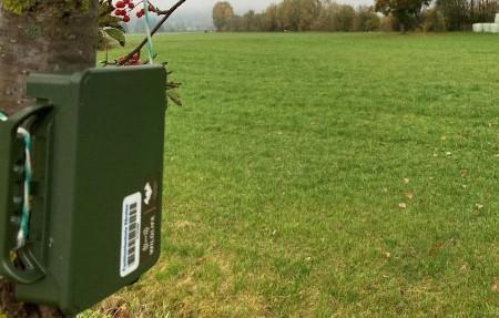
Drone4All
DRONE EXPERT
KAGIS OPEN
Land OÖ 9
SongBird
VINE
Publications and contributions
Publications:
- Widhalm, P., Ritzinger, U., Prüggler, N., Prüggler, W., Strelnikova, D., Paulus, G., d’Apolito, F., & Eicken, F. (2025). Community Drones: A Concept Study on Shared Drone Services. Drones, 9(2):107. http://dx.doi.org/10.3390/drones9020107
- Konrad, E., Paulus, G., Wallner, A., Piechl, T. (2025). Application of the Spatio-Temporal Asset Catalog Specification for Open Government Data. AGIT Conference, Issue 1. Shaping Geospatial Futures, Heft 1, Seite 104-109. https://doi.org/10.25598/agit/2025-18
Publications:
- Ruess, S., Paulus, G., & Lang, S. (2024). Automated Derivation of Vine Objects and Ecosystem Structures Using UAS-Based Data Acquisition, 3D Point Cloud Analysis, and OBIA. In Applied Sciences (Vol. 14, Issue 8, p. 3264). MDPI AG. https://doi.org/10.3390/app14083264
- Manfreda, S., Miglino, D., Saddi, K. C., Jomaa, S., Eltner, A., Perks, M., Peña-Haro, S., Bogaard, T., van Emmerik, T. H. M., Mariani, S., Maddock, I., Tauro, F., Grimaldi, S., Zeng, Y., Gonçalves, G., Strelnikova, D., Bussettini, M., Marchetti, G., Lastoria, B., … Rode, M. (2024). Advancing river monitoring using image-based techniques: challenges and opportunities. In Hydrological Sciences Journal (Vol. 69, Issue 6, pp. 657–677). Informa UK Limited. https://doi.org/10.1080/02626667.2024.2333846
Presentations and conference contributions:
- Berger, V., Kirchmeir, H., Strelnikova, D., & Jungmeier, M. (2024). Conceptualizing the management of conservation areas: the launch of IPAM Toolbox 2.0. Conference: Forum Alpinum 24, Krajnska Gora, June 2024
Publications:
- Schirck-Matthews, A., Hochmair, H. & Paulus, G. (2023) Comparison of reported outdoor activities in Florida State Parks among three fitness tracker apps, Journal of Leisure Research, 54:1, 46-71, https://doi.org/10.1080/00222216.2022.2153097
Book Unmanned Aerial Systems for Monitoring Soil, Vegetation, and Riverine environments:
- Strelnikova, D., Perks, M. T., Dal Sasso, S.F., & Pizarro A. (2023). River monitoring with UAS. In Manfreda, S. & Ben Dor, E. (Eds.): Unmanned Aerial Systems for Monitoring Soil, Vegetation, and Riverine Environments. Earth Observation. Elsevier, 231-269, https://doi.org/10.1016/B978-0-323-85283-8.00012-6
- Peña-Haro, S., Ljubičić, R., & Strelnikova, D. (2023). Geometric correction and stabilization of images collected by UAS in river monitoring. In Manfreda, S. & Ben Dor, E. (Eds.): Unmanned Aerial Systems for Monitoring Soil, Vegetation, and Riverine Environments. Earth Observation. Elsevier, 203-230, https://doi.org/10.1016/B978-0-323-85283-8.00011-4
- Müllerová, J., Bartaloš, T. Gago, X., Kent, R., Michez, A., Mokroš, M., Mücher, S. & Paulus, G. (2023). Vegetation mapping and monitoring by unmanned aerial systems (UAS)—current state and perspectives, In Manfreda, S. & Ben Dor, E. (Eds.): Unmanned Aerial Systems for Monitoring Soil, Vegetation, and Riverine Environments. Earth Observation. Elsevier, 93-124, https://doi.org/10.1016/B978-0-323-85283- 8.00008-4
Publications:
- Paulus, G., Strelnikova, D., Lutz, T., Anders, K-H., Gäbler, K., Lippitsch, g., Meier, D., Eisenbach, S. (2022). Geospatial technologies for an automated holistic risk assessment. AGILE: GIScience Series, 3:51-63. https://doi.org/10.5194/agile-giss-3-51-2022
- Strelnikova, D., Perks, M. T., Paulus, G., Käfer, S., Anders,K.-H., Mayr, P., Mader, H., Scherling, U. & Schneeberger, R. (2022). Rapid detection of the change in surface flow patterns near fish passages at hydropower dams with the use of UAS based videos under controlled discharge conditions. Frontiers in Remote Sensing, 3. DOI: 10.3389/frsen.2022.798973
- Ruess, S., Paulus, G. & Anders, K.-H. (2022) The use of high-resolution photogrammetry for the survey and analysis of rock-climbing walls. AGILE: GIScience Series, 3, 58. https://doi.org/10.5194/agile-giss-3-58- 2022
- Wallner, A. G., Piechl, T., S., Paulus, G. & Anders, K.-H. (2022) Open source vector tile creation for spatial data infrastructure applications. AGILE: GIScience Series, 3, 67. https://doi.org/10.5194/agile-giss-3-67- 2022
- Owuor, I., Hochmair, H. & Paulus, G. (2022). The Effect of COVID-19 on the Origins of Florida State Park Visitors and Online Reviewers. AGILE: GIScience Series, 3, 50. https://doi.org/10.5194/agile-giss-3-50-2022
- Filippi, M.A., Güneralp, I., Castillo, C.R., Ma, A., Paulus, G., & Anders, K.H. (2022). Comparison of Endmember- and Object-based Classification of Very High-Spatial-Resolution Unmanned Aircraft Systems (UAS) Narrow-band Images for Mapping Riparian Forests and Other Land Covers. Land – Observation and Monitoring. Land, 11, 246. https://doi.org/10.3390/land11020246
- Mirka, B., Stow, D., Paulus, G., Loerch, A., Coulter, L., An, L. & Pflüger, L.S. (2022). Evaluation of thermal infrared Image imaging from unmanned aerial vehicles for arboreal wildlife surveillance. Environmental Monitoring and Assessment, 194 (7), 1-15. https://doi.org/10.1007/s10661-022-10152-2
- Schirck-Matthews, A., Hochmair, H.H., & Paulus, G. (2022) Comparison of cycling path characteristics in South Florida and North Holland among three GPS fitness tracker apps, International Journal of Sustainable Transportation, 16(9), 804-419 https://doi.org/10.1080/15568318.2021.1943073
Presentations and conference contributions:
- Berger, V., Strelnikova, D., Steinbauer, K., Anders, K., Dalton, D., Paulus, G., & Jungmeier, M. (2022). Biodiversity Monitoring Configurator. In: World Biodiversity Forum 2022, 26.06-01.07.2022, Davos
- Strelnikova, D., Perks M.T. (2022). Summary of activities of WG4: River monitoring. In Advances in Environmental Monitoring with UAS. Workshop conducted at the meeting of COST Harmonious, 30. 03-01.04.2022, Debrecen, Ungarn.
- Strelnikova, D., Ioneanu, S., Herban, S., Paulus, G., & Manfreda, S. (2022). Operations Manual for the Use of UAS in Environmental Studies (based on SORA 2.0) (Version 01). Zenodo. https://doi.org/10.5281/zenodo.7562377
Publications::
- Sa’doun, M., Lippitt, C.D., Paulus, G., & Anders, K.-H. (2021). A Comparison of Convolution Neural Network Architectures for Automated Detection and Identification of Waterfowl in Complex Environments. GI_Forum 2021, 9, Issue 2; DOI: 10.1553/giscience2021_02_s152
- Erlacher, C., Anders, K.-H., Jankowski, P., Paulus, G., & Blaschke, T. (2021). A Framework for Cloud-Based Spatially-Explicit Uncertainty and Sensitivity Analysis in Spatial Multi-Criteria Models. ISPRS International Journal of Geo-Information, 10(4), 244. DOI: 10.3390/ijgi10040244
- Müllerová, J., Gago, X., Bučas, M., Company, J., Estrany, J., Fortesa, J., Manfreda, S., Michez, A., Mokroš, M., Paulus, G., Tiškus, E., Tsiafouli, M.A., & Kent, R. (2021). Characterizing vegetation complexity with unmanned aerial systems (UAS) – A framework and synthesis. Ecological Indicators, 131, 108156; https://doi.org/10.1016/j.ecolind.2021.108156
Publications::
- Perks, M., Dal Sasso, S., Hauet, A., Jamieson, E., Le Coz, J., Pearce, S., Peña-Haro, S., Pizarro, A., Strelnikova, D., Tauro, F., Bomhof, J., Grimaldi, S., Goulet, A., Hortobágyi, B., Jodeau, M., Käfer, S., Ljubičić, R., Maddock, I., Mayr, P., Paulus, G., Pénard, L., Sinclair, L., & Manfreda, S. (2020). Towards harmonization of image velocimetry techniques for river surface velocity observations. Earth Syst. Sci. Data , 12, 1–15. https://doi.org/10.5194/essd-12-1545-2020
- Pearce, S., Ljubičić, R., Peña-Haro, S., Perks, M., Tauro, F., Pizarro, A., Dal Sasso, S., Strelnikova, D., Grimaldi, S., Maddock, I., Paulus, G., Plavšić, J., Prodanović, D., & Manfreda, S. (2020). An Evaluation of Image Velocimetry Techniques under Low Flow Conditions and High Seeding Densities Using Unmanned Aerial Systems. Remote Sensing, 12(2), 232. https://doi.org/10.3390/rs12020232
- Schneider, T., Paulus, G., & Anders, K.-H. (2020). Towards Predicting Vine Yield: Conceptualization of 3D Grape Models and Derivation of reliable Physical and Morphological Parameters. GI_Forum, 1, 73-88. https://doi.org/10.1553/giscience2020_01_s73
- Strelnikova, D., Paulus, G., Käfer, S., Anders, K.-H., Mayr, P., Mader, H., Scherling, U., & Schneeberger, R. (2020). Drone-Based Optical Measurements of Heterogeneous Surface Velocity Fields around Fish Passages at Hydropower Dams. Remote Sensing, 12(3), 384. https://doi.org/10.3390/rs12030384
- Strelnikova, D., Paulus, G., Käfer, S., Anders, K.-H., Mayr, P., Mader, H., Scherling, U., & Schneeberger, R. (2020). Drohnenbasierte optische Ermittlung von heterogenen Oberflächenströmungsmustern in der Nähe von Fischaufstiegshilfen. AGIT ‒ Journal für Angewandte Geoinformatik, 6-2020, pp. 206-216
Presentations and conference contributions:
- Paulus, G., Strelnikova, D., Anders, K.-H., Schneider, T., Meier, D., Eisenbach, S., Lutz, T., Lippitsch, G., & Gäbler, K. (2020). Drone Risk Austria – Ein multidisziplinärer Ansatz zur Unterstützung der Risikobewertung von Drohnenmissionen in Österreich. AGIT 2020: Virtual Conference, 06-10.07.2020, Salzburg, Österreich.
- Paulus, G., Zebedin, P., Koren, G., Kainbacher, J., Scherling, U., & Anders, K.-H. (2020). Geoinformation und Kunst treffen sich in Klagenfurt im Fußballstadion im Wald. AGIT 2020: Virtual Conference, 06-10.07.2020, Salzburg, Österreich.
- Schneider T., Paulus, G., & Anders, K.-H. (2020). Towards Predicting Vine Yield: Conceptualization of 3D Grape Models and Derivation of reliable Physical and Morphological Parameters. GI_Forum 2020: Virtual Conference, 06-10.07.2020, Salzburg, Austria. https://doi.org/10.1553/giscience2020_01_s73
- Pearce, S., Ljubičić, R., Peña-Haro, S., Perks, M., Tauro, F., Pizarro, A., Fortunato Dal Sasso, S., Strelnikova, D., Grimaldi, S., Maddock, I., Paulus, G., Plavšić, J., Prodanović, D., Manfreda, S., Corbett, M., & Everard, N. (2020). An evaluation of image velocimetry techniques under low flow conditions and high seeding densities using Unmanned Aerial Systems. In Proceedings of EGU General Assembly 2020. EGU General Assembly 2020, 04-08.05.2020 Online. https://doi.org/10.5194/egusphere-egu2020-324
Publications:
- Beene, D., Zhang, S., & Paulus, G. (2019). Workflow for hydrologic modelling with sUAS-acquired aerial imagery. Geocarto International, 20(2), 1–19. https://doi.org/10.1080/10106049.2019.1648562
- Erlacher, C., Desch, A., Anders, K.-H., Jankowski, P., & Paulus, G. (2019). Parallel and Distributed Computing for large raster-based Spatial Multicriteria Decision Analysis Problems: A Computational Performance Comparison. GI_Forum, 1, 69–86. https://doi.org/10.1553/giscience2019_01_s69
- Paulus, G., Anders, K.-H., Erlacher, M., Mayr, P., & Schneeberger, R. (2019). Wörthersee 3D – Empirischer Vergleich von Flachwasserbathymetriedaten: UAS Photogrammetrie versus Single Beam Echolot. In T. P. Kersten (Ed.). Dreiländertagung der OVG, DGPF und SGPF: Photogrammetrie – Fernerkundung – Geoinformation – 2019. Publikationen der DGPF: Vol. 28. 39. Wissenschaftlich-Technische Jahrestagung der DGPF e.V. DGPF, 20-22.02.2019, Vienna, Austria
Presentations and conference contributions:
- Paulus, G., Winkler, T., & Rohli B. (2019). Unmanned Aerial Systems for capturing dynamic weather data in the atmospheric boundary layer. In AAG Annual Meeting Proceedings. American Association of Geographers Annual Meeting, 3-7.04.2019, Washington, DC.
- Schrick-Matthews, A., Hochmair, H., Strelnikova, D., & Juhász, L. (2019). Comparing the Characteristics of Bicycle Trips between Endomondo, Google Maps, and MapQuest. In 98th TRB Annual Meeting. Contribution at the meeting of Transport Research Board, 13-17.01.2019, Washington, DC, USA
- Paulus, G., Anders, K.-H., Erlacher, M., Mayr, P., & Schneeberger, R. (2019). Empirical Comparison of Shallow Water Bathymetry Data: UAS MultiView Stereo Photogrammetry versus Single Beam Echo Sounding. In Progress in the use of UAS Techniques for Environmental Monitoring. Contribution at the meeting of COST Action CA16219 HARMONIOUS – Harmonization of UAS techniques for agricultural and natural ecosystems monitoring, 27.02-01.03.2019, Prague, Czech Republic
- Paulus, G., Anders, K.-H., Ortner, C., & Winkler, T. (2019). Concept, Design and Implementation of a Prototype of a Spatial Data Infrastructure for UAS-based Environmental Monitoring. In Standardization of procedures in using UAS for environmental monitoring. Contribution at the meeting of COST Action CA16219 HARMONIOUS – Harmonization of UAS techniques for agricultural and natural ecosystems monitoring, 6-7.11.2019, Coimbra, Portugal.
- Strelnikova, D., Paulus, G., Anders, K.-H., Käfer, S., Mayr, P., Schneeberger, R., & Mader, H. (2019). Towards a standard approach to UAS based data collection for optical monitoring of heterogeneous flow. In Standardization of procedures in using UAS for environmental monitoring. Contribution at the meeting of COST Action CA16219 HARMONIOUS – Harmonization of UAS techniques for agricultural and natural ecosystems monitoring, 6-7.11.2019, Coimbra, Portugal
- Strelnikova, D., Paulus, G., Anders, K.-H., Mayr, P., Käfer, S., Mader, H., & Schneeberger, R. (2019). FishStream: Determining the Surface Velocity Fields near Fish Passages at Hydropower Dams. In Progress in the use of UAS Techniques for Environmental Monitoring. Contribution at the meeting of COST Action CA16219 HARMONIOUS – Harmonization of UAS techniques for agricultural and natural ecosystems monitoring, 27.02-01.03.2019, Prague, Czech Republic
2018
Publications:
- Loerch, A. C., Paulus, G., & Lippitt, C. D. (2018). Volumetric Change Detection with using Structure from Motion – The Impact of Repeat Station Imaging. GI_Forum, 1, 135–151. https://doi.org/10.1553/giscience2018_01_s135
- Strelnikova, D., Schneider, T., & Leitner, M. (2018). Utilizing Spatial Video to Analyse Roadside Advertisements in Villach, Austria. GI_Forum, 1, 34–46. https://doi.org/10.1553/giscience2018_01_s34
Presentations and conference contributions:
- Paulus, G., Anders, K.-H., Mak, S., Rieger, A., Lumasegger, M., & Eisl, M. (2018). An Unmanned Aerial Multi Sensor System for high resolution spatio-temporal Monitoring of River Environments: Poster. In OPTIMISE (Innovative Optical Tools for Proximal Sensing of Ecophysiological Processes) Final Conference. Contribution at the meeting of National Institute of Geophysics, Geodesy and Geography of the Bulgarian Academy of Sciences, 21-23.02.2018, Sofia, Bulgaria
- Paulus, G., Preduschnig, T., Anders, K-H., Strelnikova, D., Wagner, K. DRONE ZONE AUSTRIA – Towards a Spatial Data Infrastructure for integrated risk based RPAS mission planning and UTM. White Paper – Proceedings RPAS CivOps 2018 – European Civil RPAS Operators & Operations Forum, 16-17.01.2018, Paris, France
- Paulus, G., Strelnikova, D., Anders, K.-H., Preduschnig, T., & Wagner, K. (2018). The Need of a High Resolution European Spatial Data Infrastructure for Unmanned Aerial System Mission Planning & Risk Assessment. In 21st AGILE International Conference on Geographic Information Science. Contribution at the meeting of AGILE, 13-15.06.2018, Lund, Sweden
2017
Publications:
- Erlacher, C., Jankowski, P., Blaschke, T., Paulus, G., & Anders, K.-H. (2017). A GPU-based Parallelization Approach to conduct Spatially-Explicit Uncertainty and Sensitivity Analysis in the Application Domain of Landscape Assessment. GI_Forum, 1, 44–58. http://dx.doi.org/10.1553/giscience2017_01_s44
- Paulus, G., Preduschnig, T., Anders, K.-H., Gäbler, K., Glatzl, F., Lippitsch, G., & Wagner, K. A. (2017). Drone Zone Austria ‒ Design of a Web Portal for Safe Drone Mission Planning in Austria. AGIT ‒ Journal für Angewandte Geoinformatik, 3-2017. Herbert Wichmann Verlag, VDE VERLAG GMBH – Berlin – Offenbach. https://doi.org/10.14627/537633017
- Paulus, G., Ramsbacher, K., Anders, K.-H., Mayr, P., & Schneeberger, R. (2017). Design, Implementation and Assessment of a Drone-based Infrastructure Inspection Process. In W. Lienhart (Ed.), Ingenieurvermessung 17: Beiträge zum 18. Internationalen Ingenieurvermessungskurs Graz, 2017 (pp. 35–46). Berlin: Wichmann
- Strelnikova, D., & Anders, K.-H. (2017). Spatio-Temporal Interpolation of UAV Sensor Data. GI_Forum, 1, 141–156
- Hübl, F., Cvetojevic, S., Hochmair, H., Paulus, G. (2017). Analyzing Refugee Migration Patterns Using Geotagged Tweets. ISPRS Int. J. Geo-Inf., 6, 302. https://doi.org/10.3390/ijgi6100302
Presentations and conference contributions:
- Filippi, A. M., Güneralp, I., Paulus, G., Castillo, C. R., Ma, A., Anders, K.-H., & Erlacher, M. (2017). Pixel- and object-based classification of unmanned aircraft systems (UAS)-based narrow-band images for riparian vegetation mapping. In AAG Annual Meeting Proceedings. American Association of Geographers Annual Meeting, 5-9.04.2017, Boston, USA
- Paulus, G., Preduschnig, T., Anders, K.-H., Gäbler, K., Glatzl, F., Lippitsch, G., & Wagner, K. (2017). Drone Zone Austria ‒ Design of a Web Portal for Safe Drone Mission Planning in Austria. In Proceedings of RPAS CivOps 2017. RPAS CivOps 2017. Contribution at the meeting of European Civil RPAS Policy, Regulatory & Innovation Forum, 13-14.06.2017, Brussels, Belgium
2016
Publications:
- Crook, S. E. S., & Paulus, G. (2016). An Agent-Based Model for Exploring Wolf Recolonization in Austria. GI_Forum, 2, 3–19.
- Klingseisen, B., Metternicht, G., Paulus, G., & Wilson, D. (2016). Geomorphometric Landscape Analysis of Agricultural Areas and Rangelands of Western Australia. In J. A. Zinck, G. I. Metternicht, G. Bocco, & H. F. Del Valle (Eds.), Geopedology: An integration of geomorphology and pedology for soil and landscape studies / Joseph Alfred Zinck, Graciela Metternicht, Gerardo Bocco, Héctor Francisco Del Valle, editors (pp. 361–376). Cham: Springer.
Presentations and conference contributions:
- Paulus, G., Anders, K.-H., Regenfelder, M., Kosar, B., Rieger, A., Michor, K., Werth, W., Sterner, H., Hohenwarter, G., Gaggl, R., Stanek, H., Wagner, K., Eisl, M., Filippi, A. M., Güneralp, I., & Skupin, A. (2016). Einsatz von unbemannten Flugdrohnen zur Erfassung von Umweltinformationen: Invited Talk. In Geokolloquium TU Graz, 03.2016.
- Paulus, G., Ramsbacher, K., Anders, K.-H., Mayr, P., & Schneeberger, R. (2016). Development of an Unmanned Aerial System based Infrastructure Inspection Process. In AAG Annual Meeting Proceedings. American Association of Geographers Annual Meeting, 29.03-02.04.2016, San Francisco, USA
Publications:
- Joyner, T. A., Friedland, C. J., Rohli, R. V., Treviño, A. M., Massarra, C., & Paulus, G. (2015). Cross-correlation modeling of European windstorms: A cokriging approach for optimizing surface wind estimates. Spatial Statistics, 13, 62–75. https://doi.org/10.1016/j.spasta.2015.05.003
- Paulus, G., Anders, K.-H., Regenfelder, M., Kosar, B., Rieger, A., Michor, K., Werth, W., Ungermanns, C., Sterner, H., Hohenwarter, G., Stefan, C., Gaggl, R., Stanek, H., & Wagner, K. (2015). RPAMSS – Entwicklung, Anwendung und quantitative Validierung eines unbemannten fliegenden Multisensorsystems zur hochauflösenden Erfassung von Umweltdaten. AGIT ‒ Journal für Angewandte Geoinformatik, 1-2015, 98–101.
- Seidl, D.E., Paulus, G., Jankowski, P., Regenfelder, M. (2015). Spatial obfuscation methods for privacy protection of household-level data. Applied Geography, 63, 253–263, https://doi.org/10.1016/j.apgeog.2015.07.001
- Steiner, D., Hochmair, H. & Paulus, G. (2015). Quality Assessment of Open Realtime Data for Public Transportation in the Netherlands. In Car, A., Jekel, T. & J. Strobl (Eds.): GI_Forum 2015, 3, Journal for Geographic Information Science, Geospatial Minds for Society, https://doi.org/10.1553/giscience2015s579
Presentations and conference contributions:
- Paulus, G. (2015). Opportunities and Challenges of Remotely Piloted Aircraft Systems (RPAS) for Geospatial Sciences: [Invited Keynote Lecture]. In GISCA Conference 2015, 16.05.2015, Tashkent, Usbekistan
2014
Publications:
- Weyrer, T., Hochmair, H.H., & Paulus, G. (2014). Intermodal Door-to-Door Routing for People with Physical Impairments in a Web-based Open Source Platform. Transportation Research Record: Journal of the Transportation Research Board, 2469, 108-119. https://doi.org/10.3141/2469-12
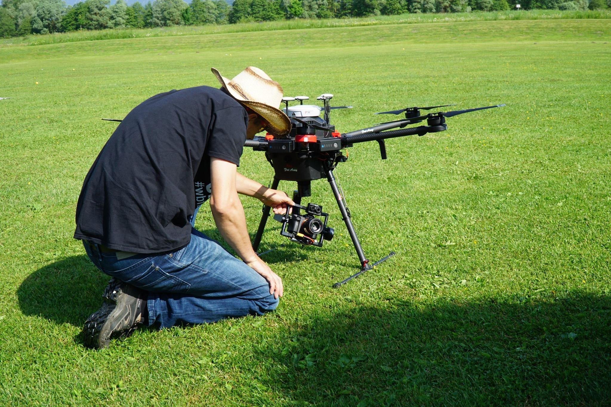
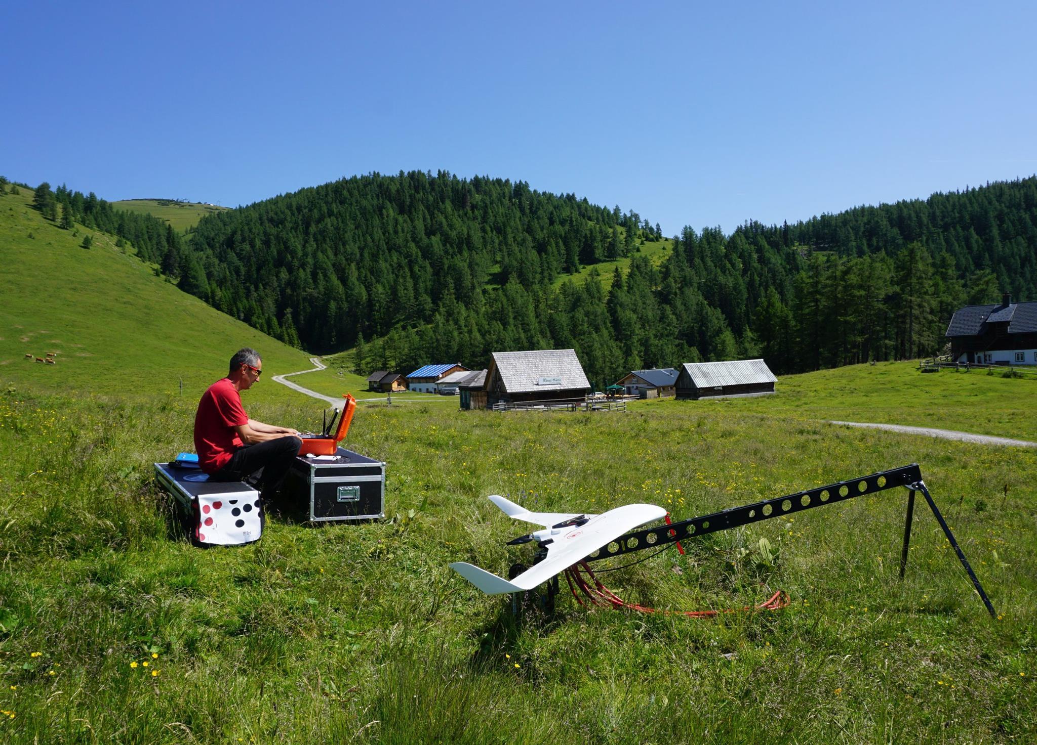
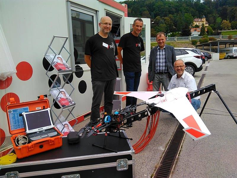
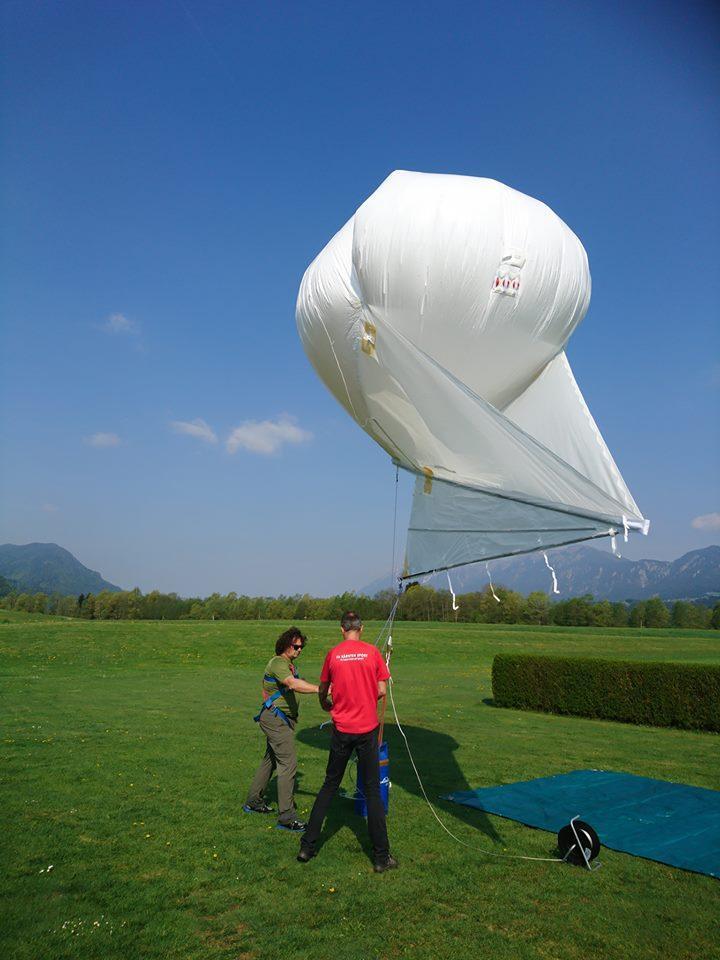
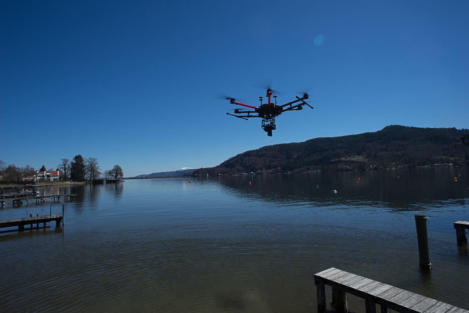
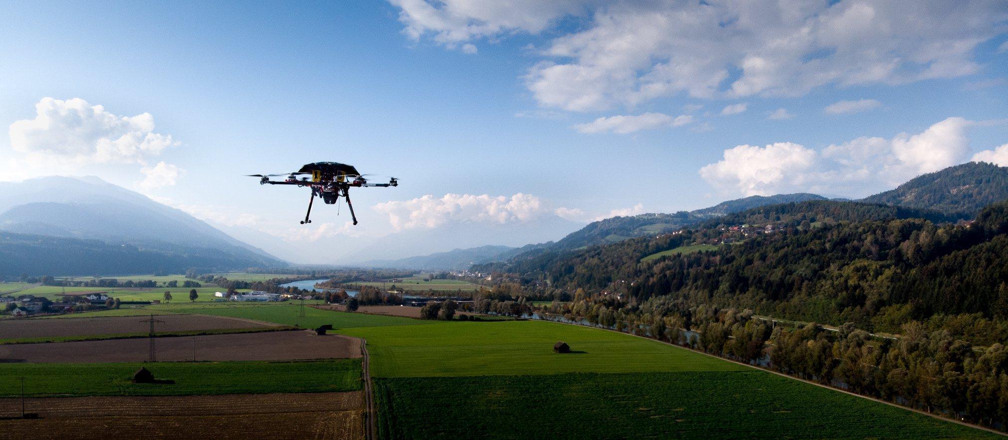
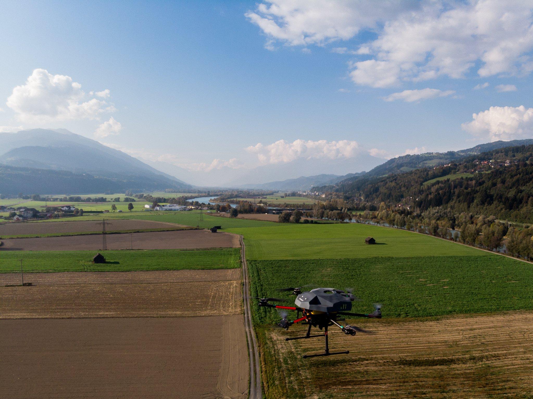
Gallery


Team

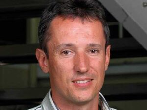
Team lead:
FH-Prof. Mag. Dr. Gernot Paulus, MSc. MAS
CUAS – Campus Villach
Europastrasse 4, 9524 Villach
T: +43 59 0500 2240
paulus(at)cuas.at
Key und Senior Researchers

Dariia Strelnikova, MSc., BEd.
Senior Researcher
d.strelnikova(at)fh-kaernten.at

FH-Prof. Dr.-Ing. Karl-Heinrich Anders
Key Researcher
k.anders(at)fh-kaernten.at
Junior Researchers

Mohammad Mustafa Sa’doun, MSc.
m.sadoun(at)fh-kaernten.at

Stefan Ruess, MSc.
s.ruess(at)fh-kaernten.at

Oleksii Liashenko, MSc.
o.liashenko(at)fh-kaernten.at

Elisabeth Konrad, BSc.
e.konrad(at)fh-kaernten.at
Laboratory engineer
Ing. Ulf Scherling
T: +43 59 0500 2223
u.scherling(at)fh-kaernten.at

