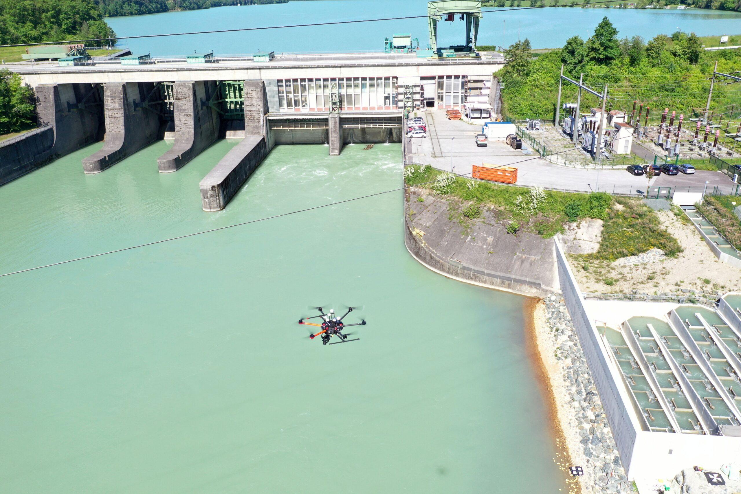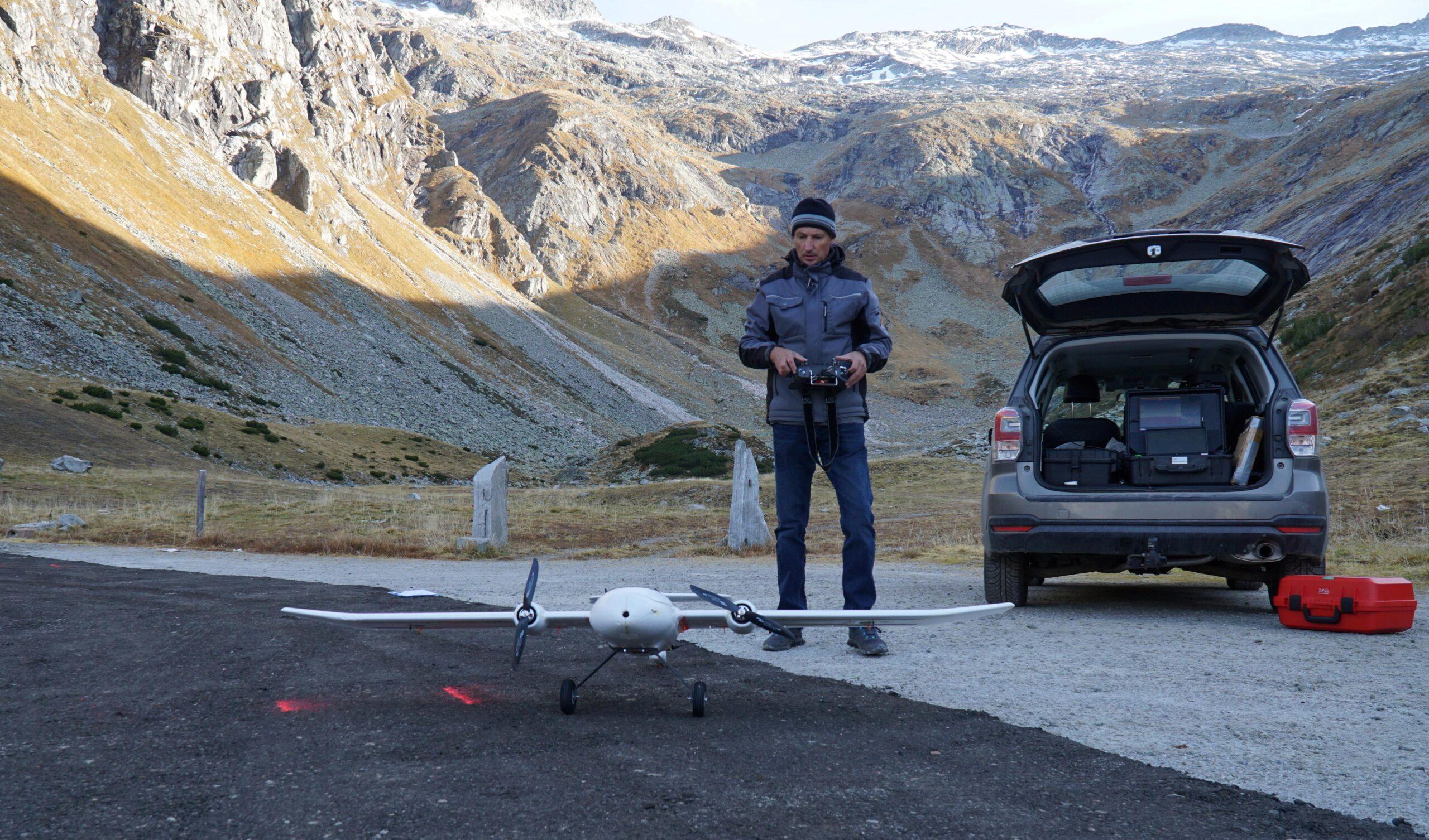
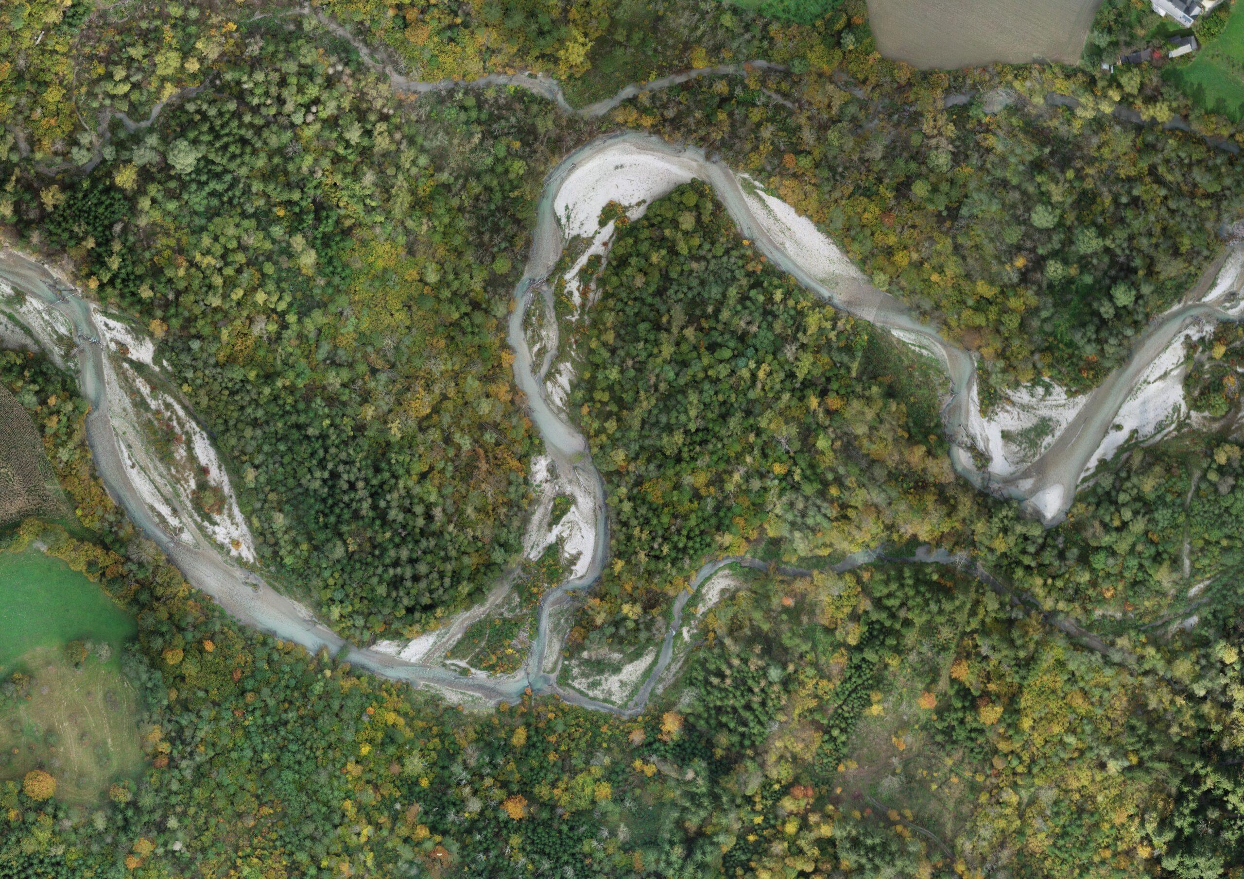
Modern remote sensing technologies, particularly the use of drones, enable precise, real-time monitoring of environmental parameters in hard-to-reach or large-scale areas through high-resolution sensors and flexible flight paths. The combination of different sensors provides a comprehensive, detailed picture of ecological changes, which supports efficient and systematic environmental monitoring. Based on this detailed data, effective strategies can be developed for climate protection measures as well as for targeted adaptation to the consequences of climate change.
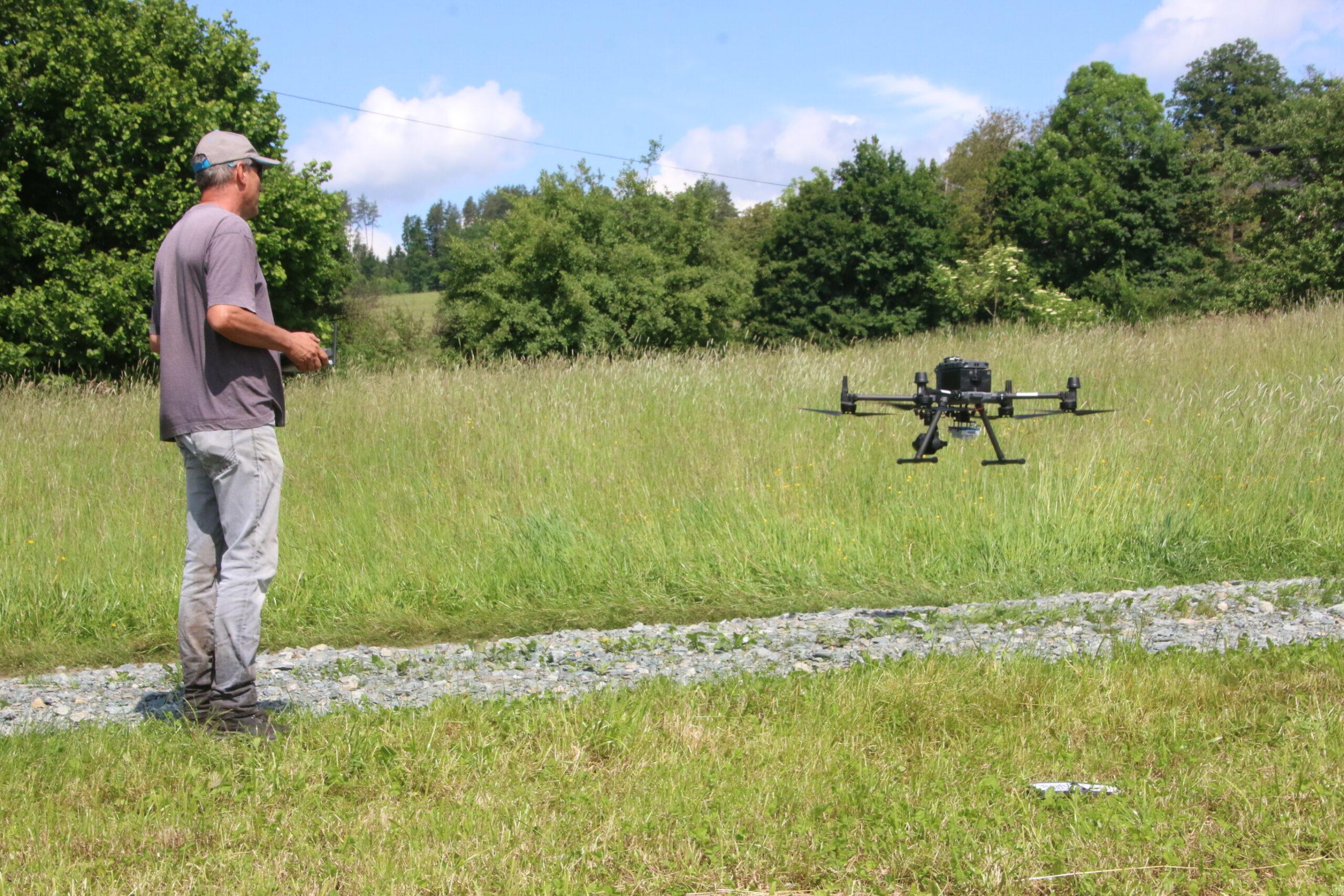
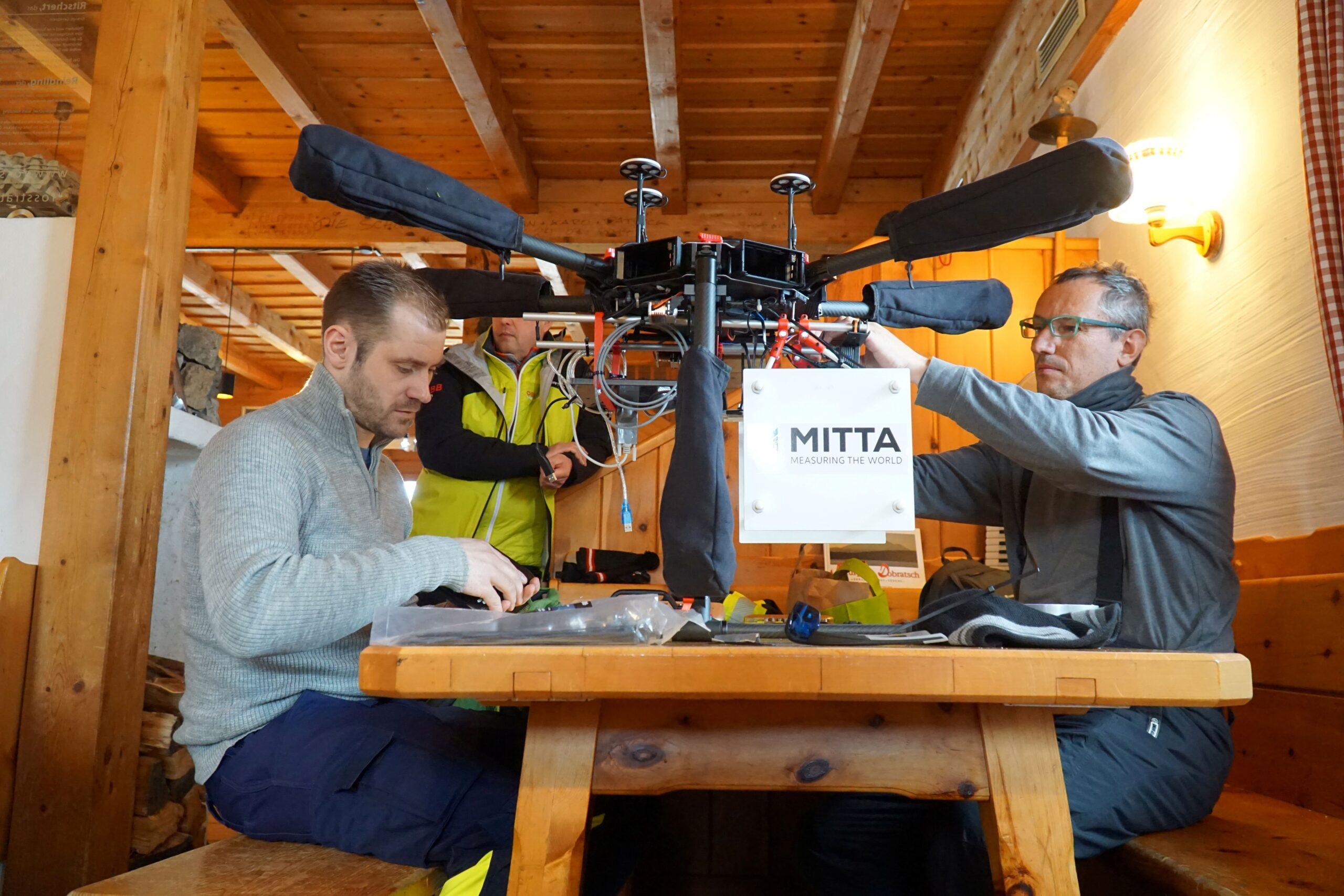
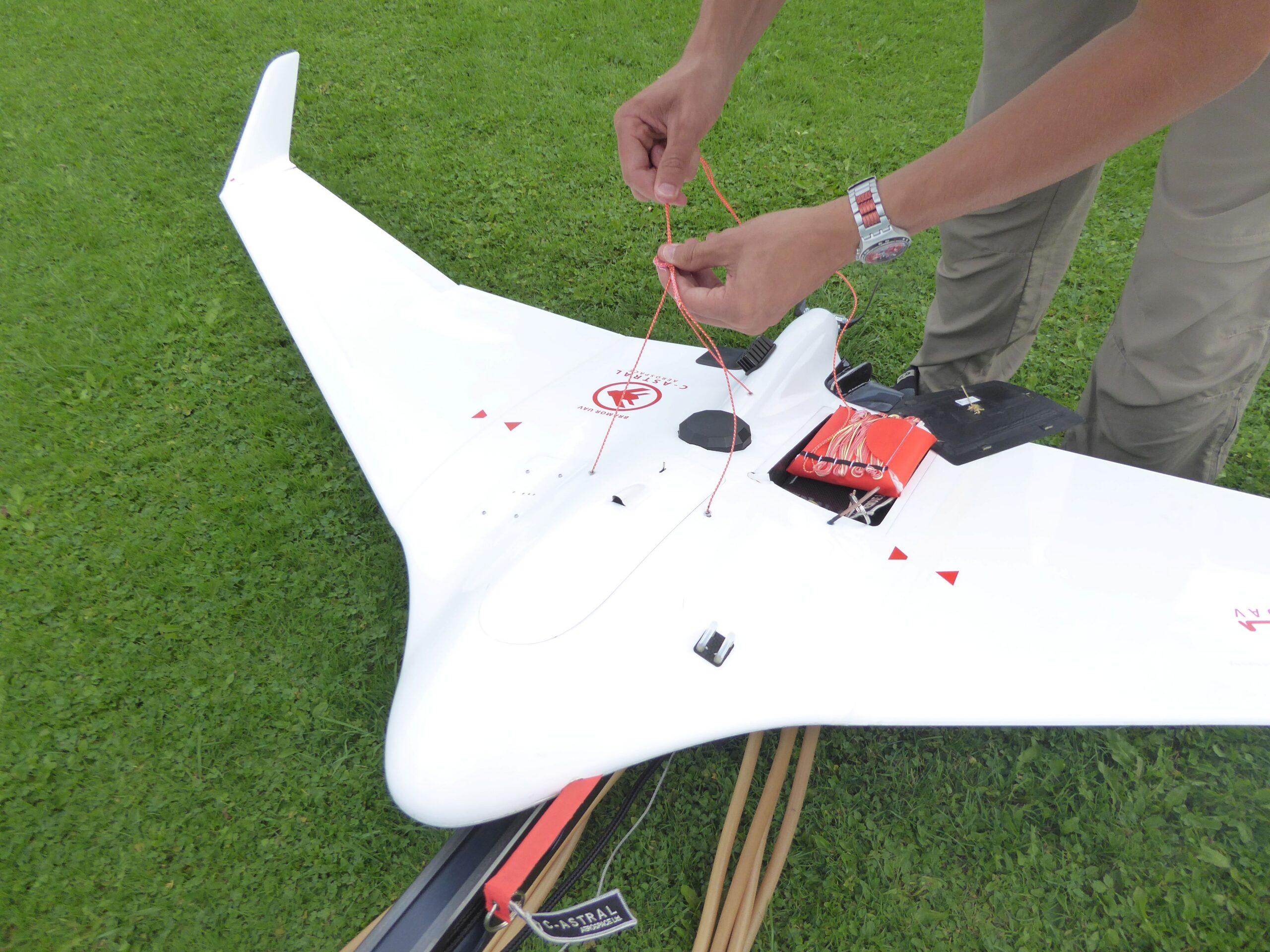
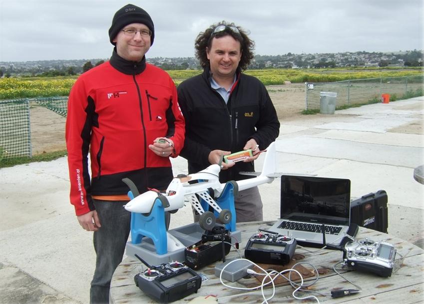
In the remote sensing & environmental studies lab (i.e., the DroneLab), CUAS researchers work on developing, testing and implementing these modern technologies, building UAV (unmanned aerial vehicles) and developing sensors from scrap, as well as performing cutting edge research on modern LiDAR, laser-scanning and 3D-modelling technologies.
Students are also involved and learn theoretical fundamentals, as well as how to use various devices for collecting geodata, how GIS software works and how to use it, as well as, where applicable, how to extend various software programs by developing plugins/add-ons.
In the drone lab, ICEB works on/with:
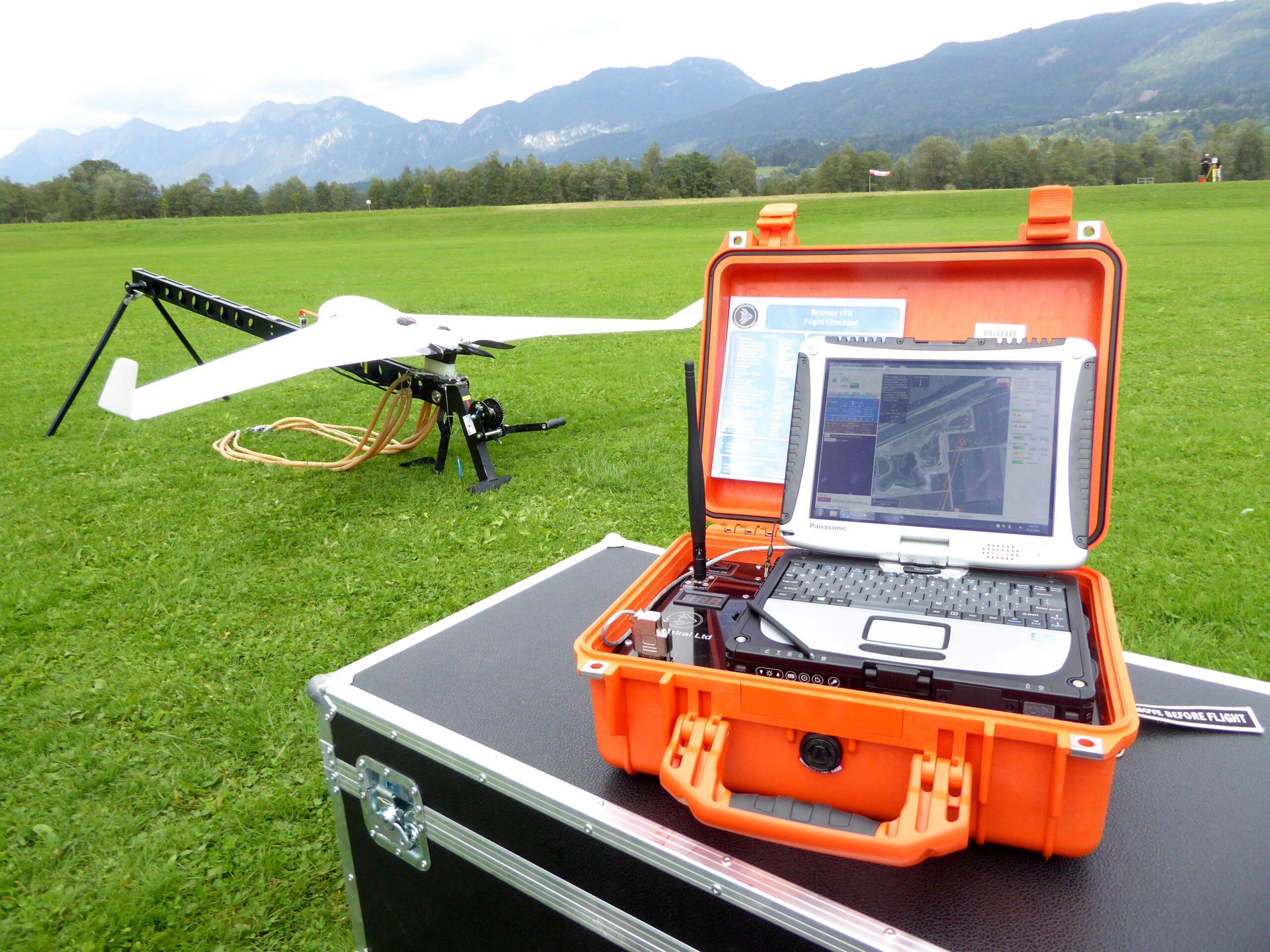
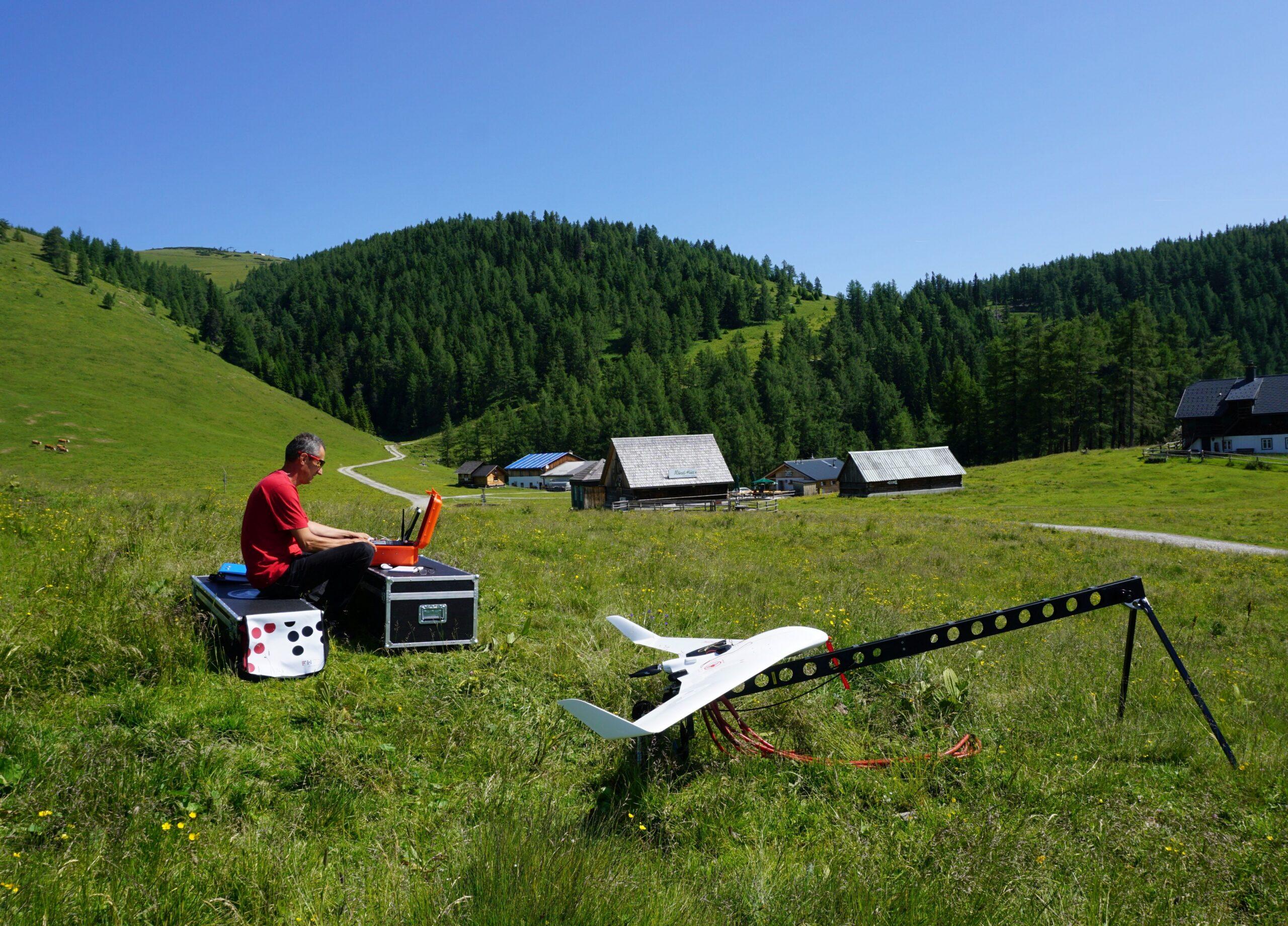
- Fixed-wing and multirotor UAVs,
- Multispectral and hyperspectral sensors,
- Airborne, handheld and terrestrial laser scanners,
- Airborne high-resolution cameras,
- Leica surveying equipment, and
- various sensors for environmental data acquisition.
The DroneLab is open to visits from schools, researchers and any other stakeholders interested in the topic and possible collaborations.
Want to visit the lab or got questions?
Contact us!
Ulf ScherlingLab-Engineer
u.scherling@cuas.at